We photographed several Park & Ride facilities for the City of Munich. The project combined ground-level shots with aerial photographs to showcase the locations and how they fit into their surroundings.
The focus was on the architecture of the facilities, their access roads, green spaces, and connections to public transportation.
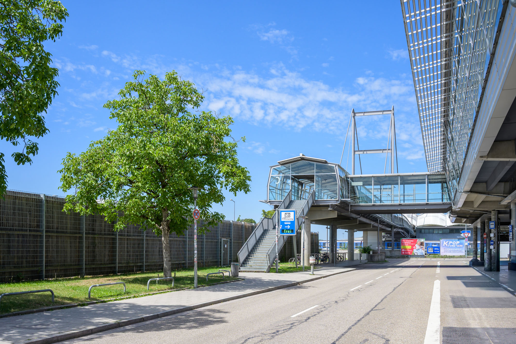
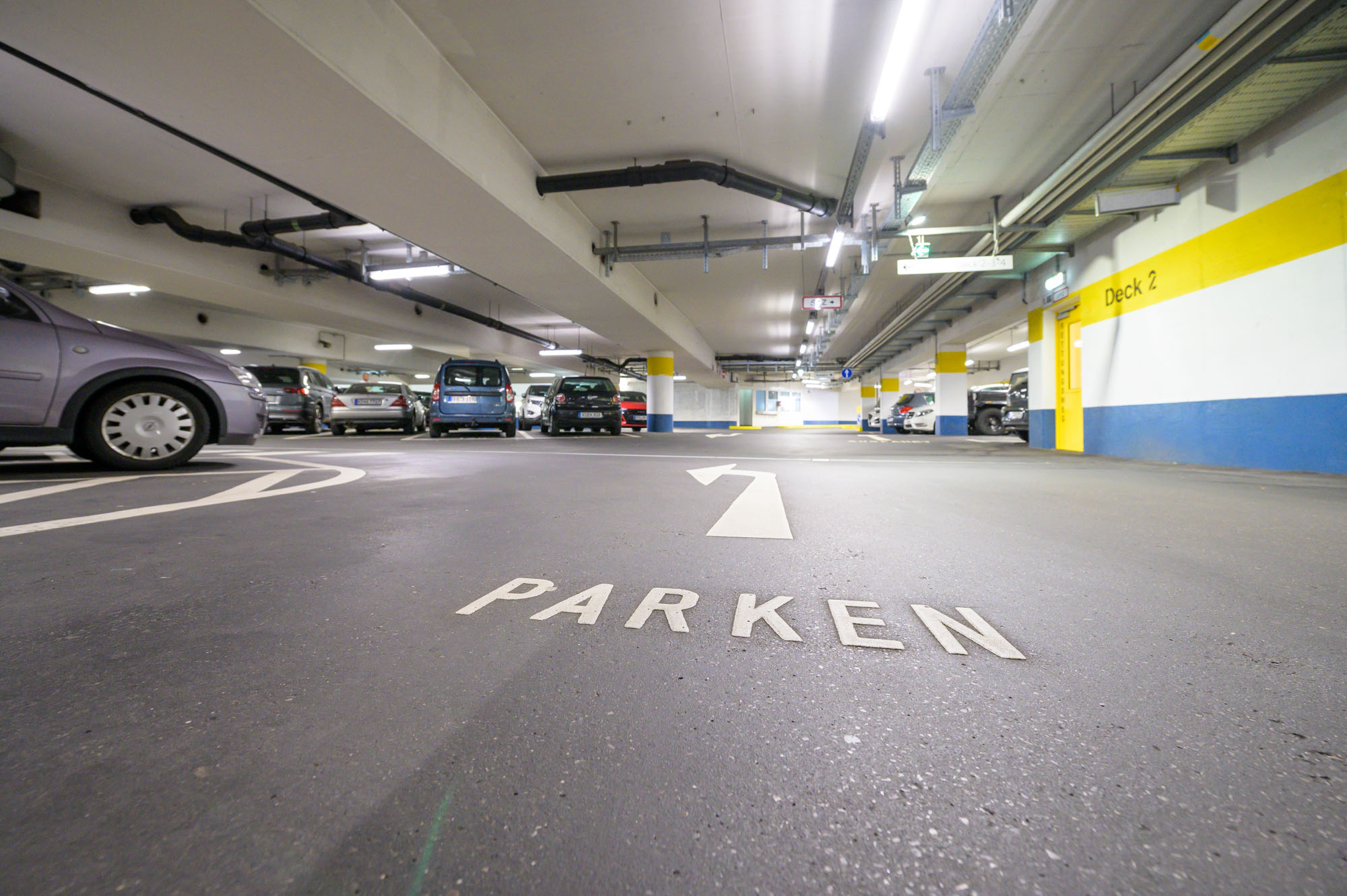
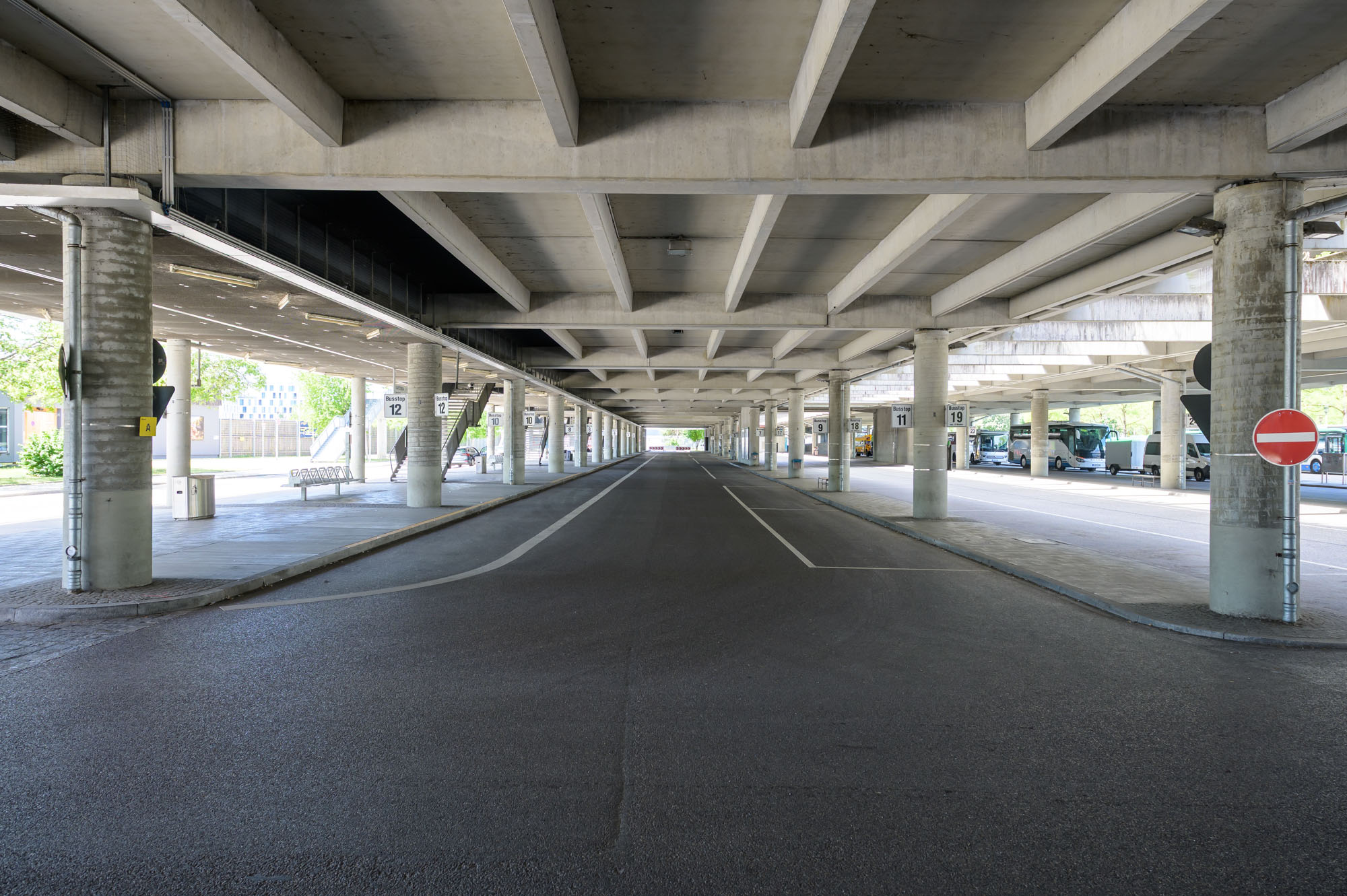
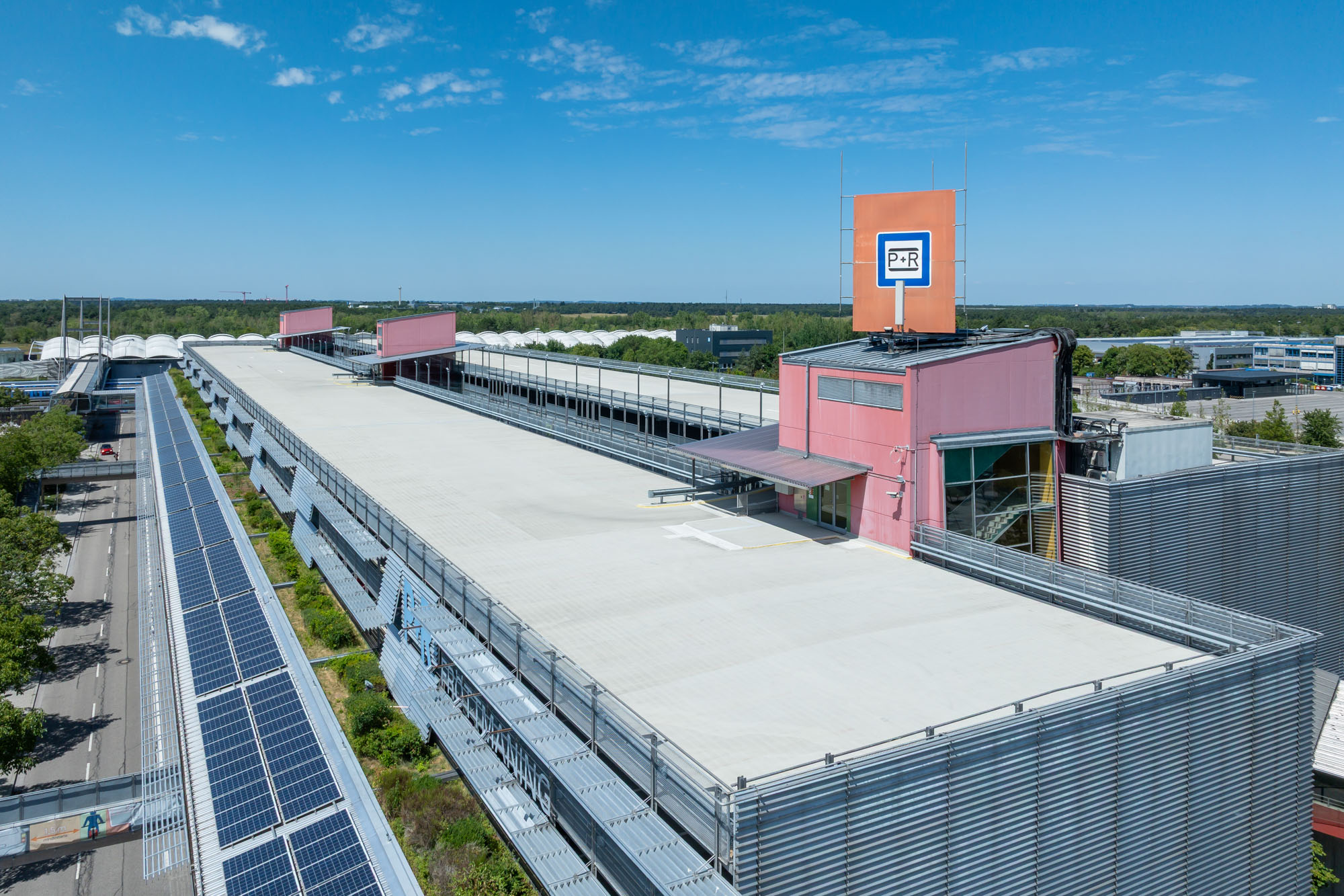
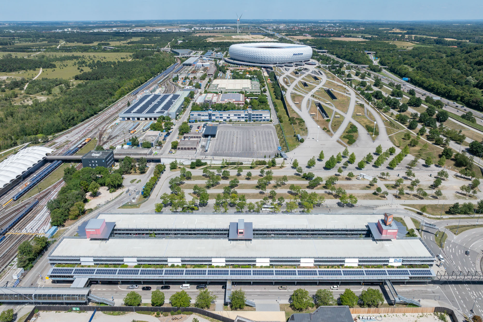
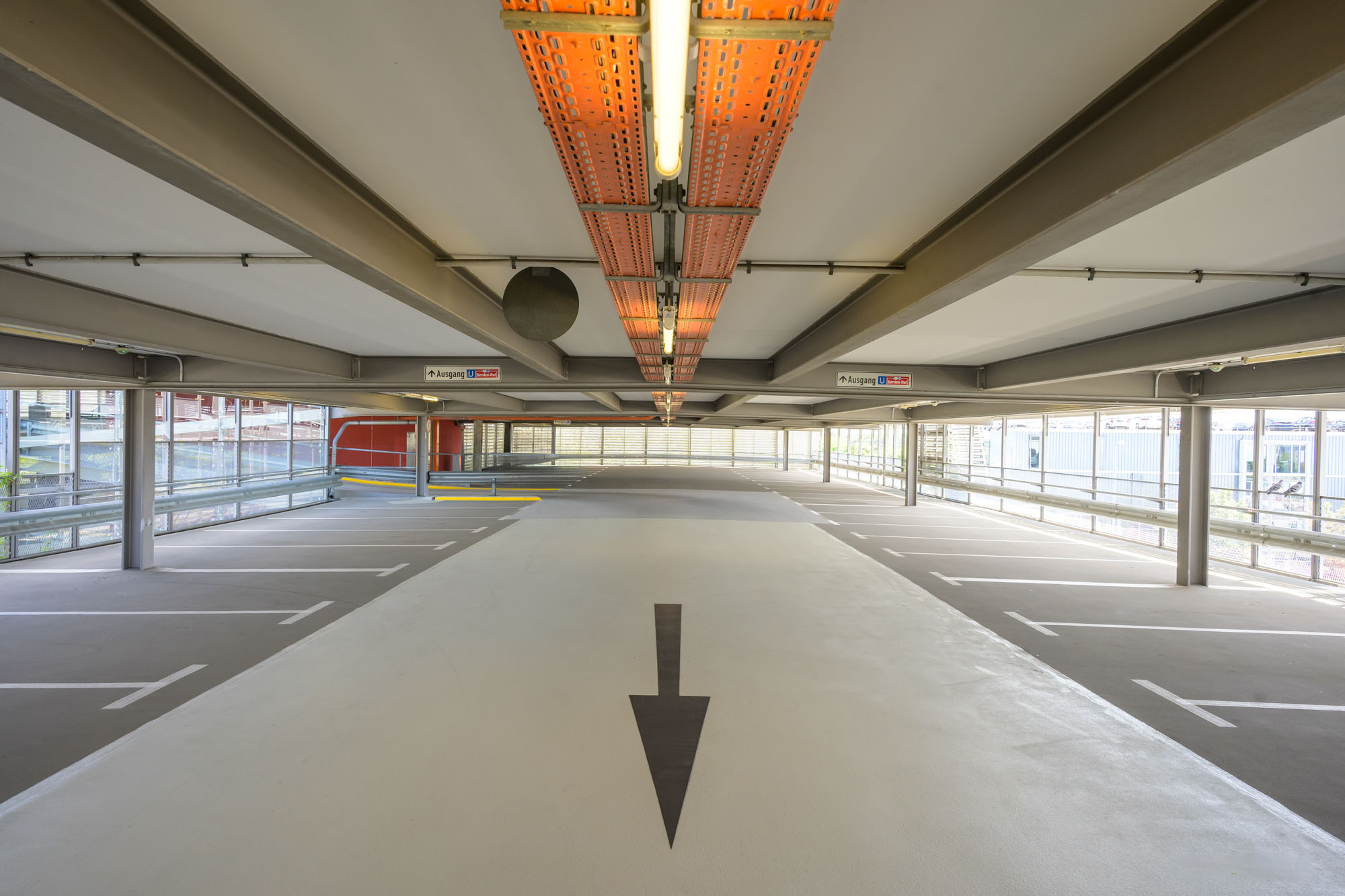
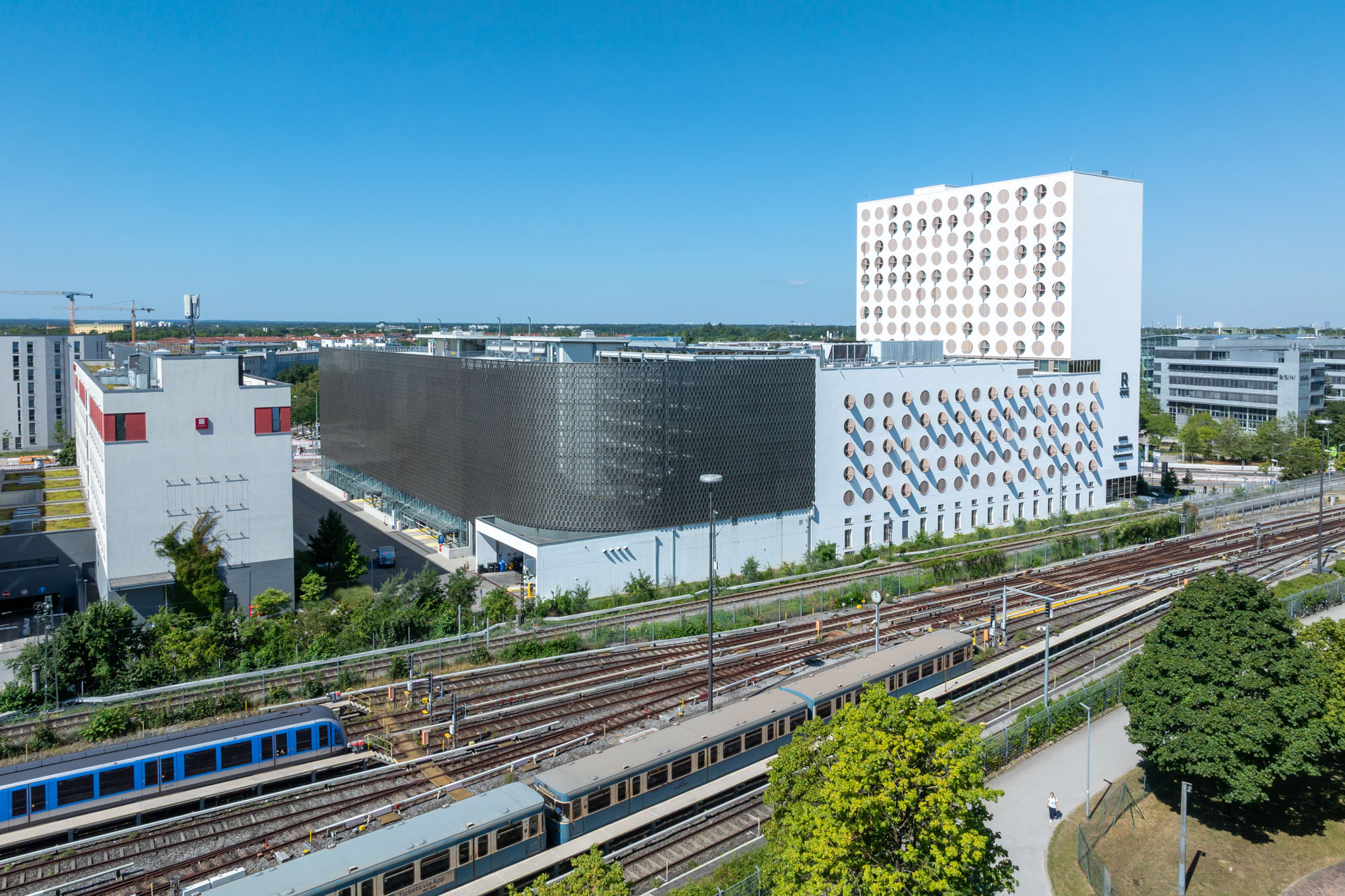
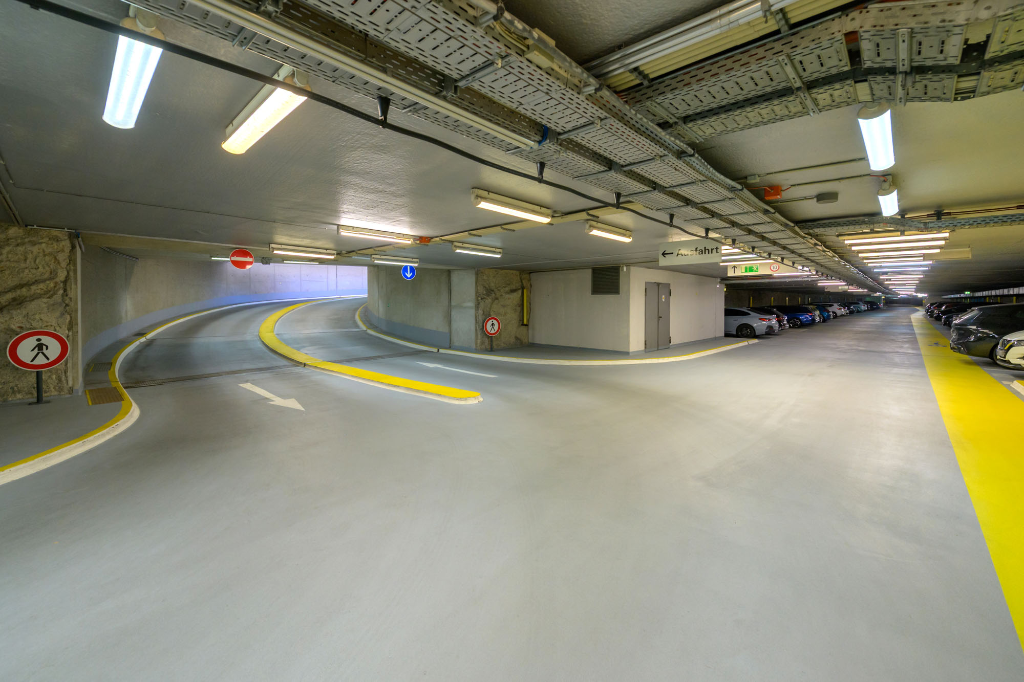
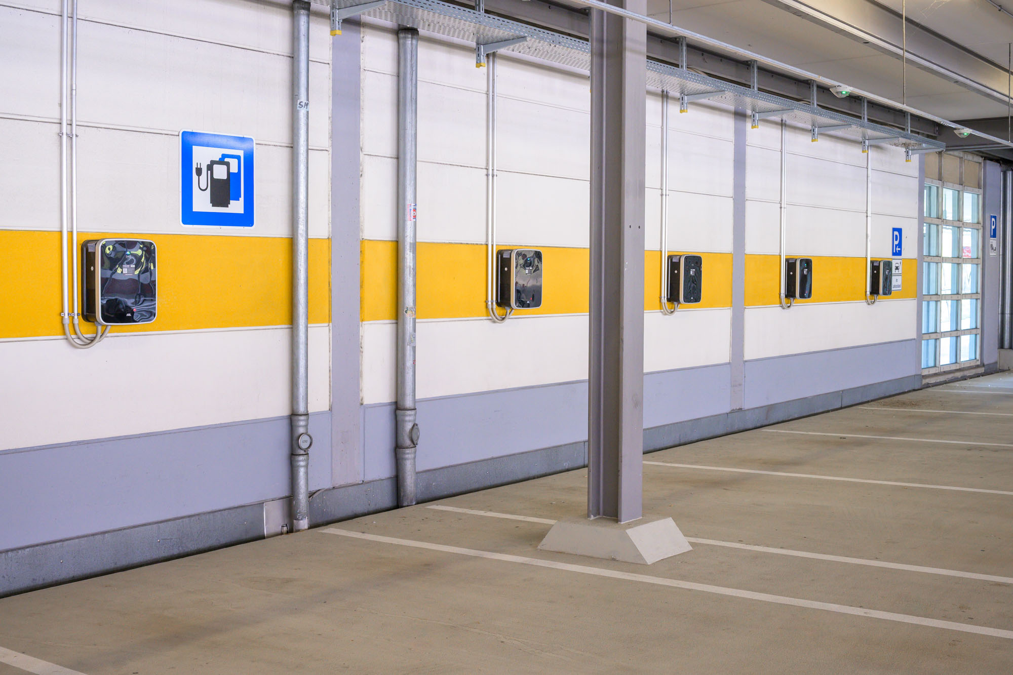
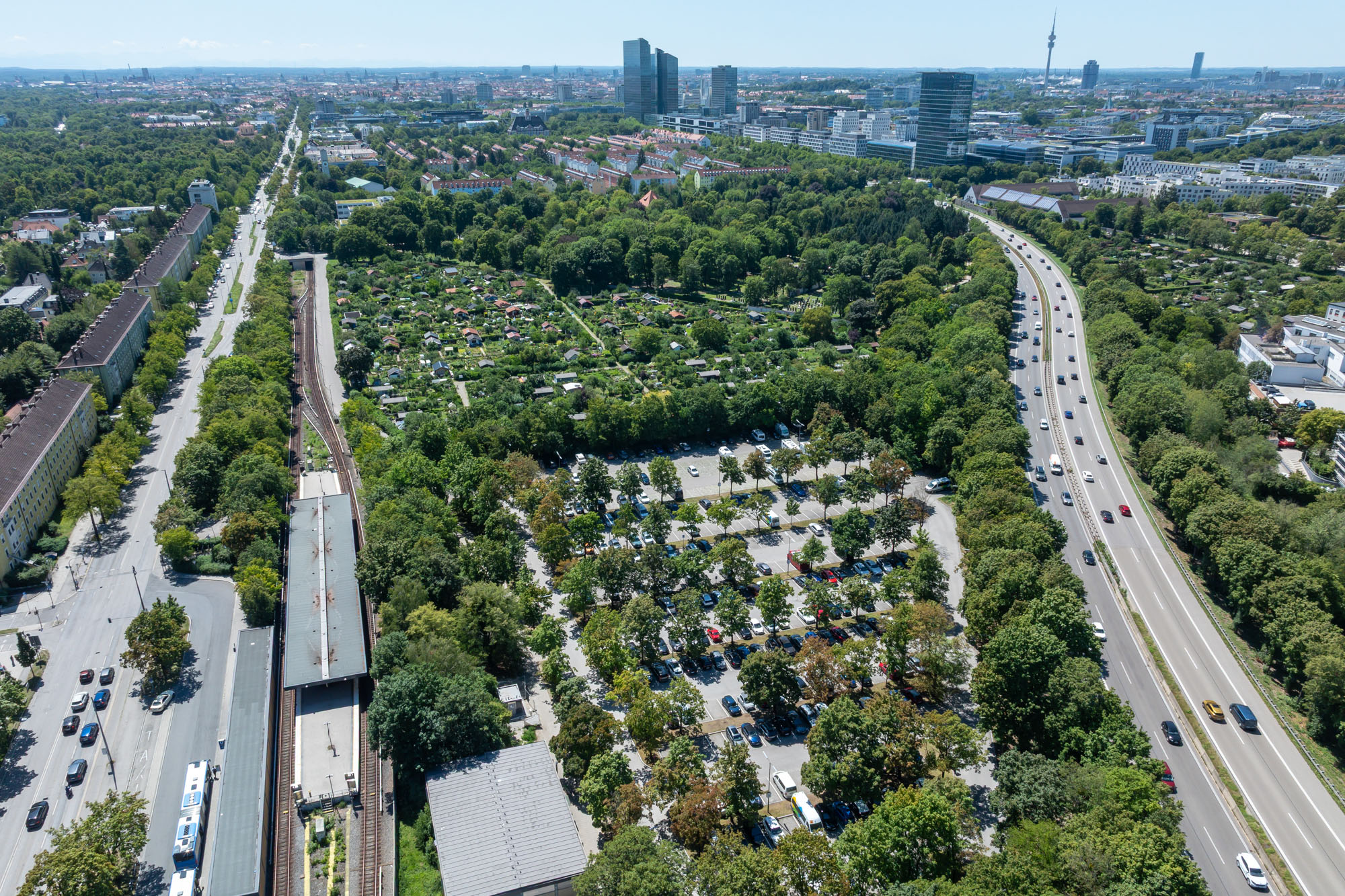
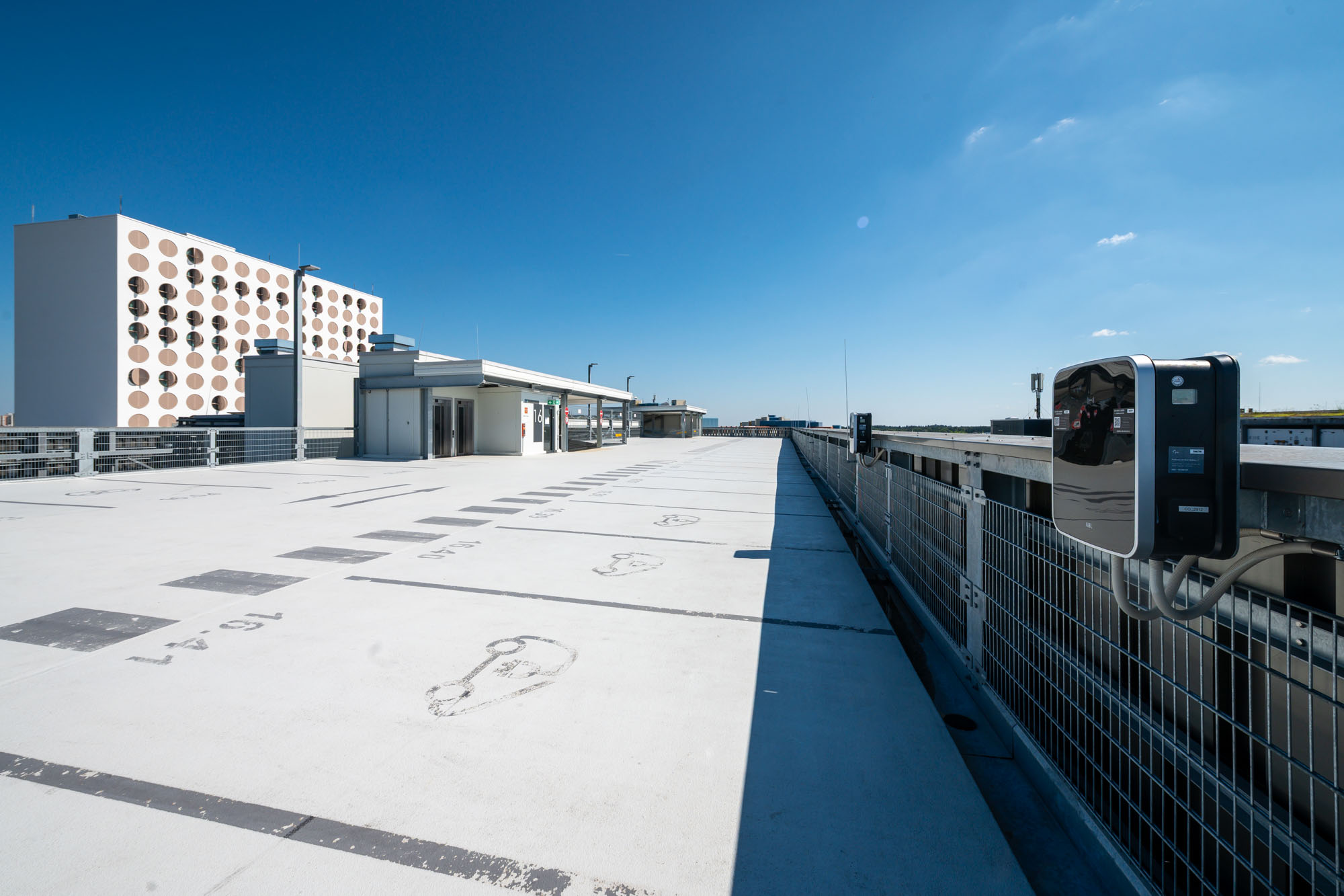
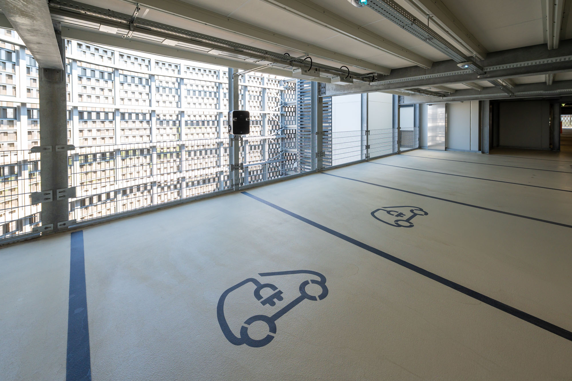
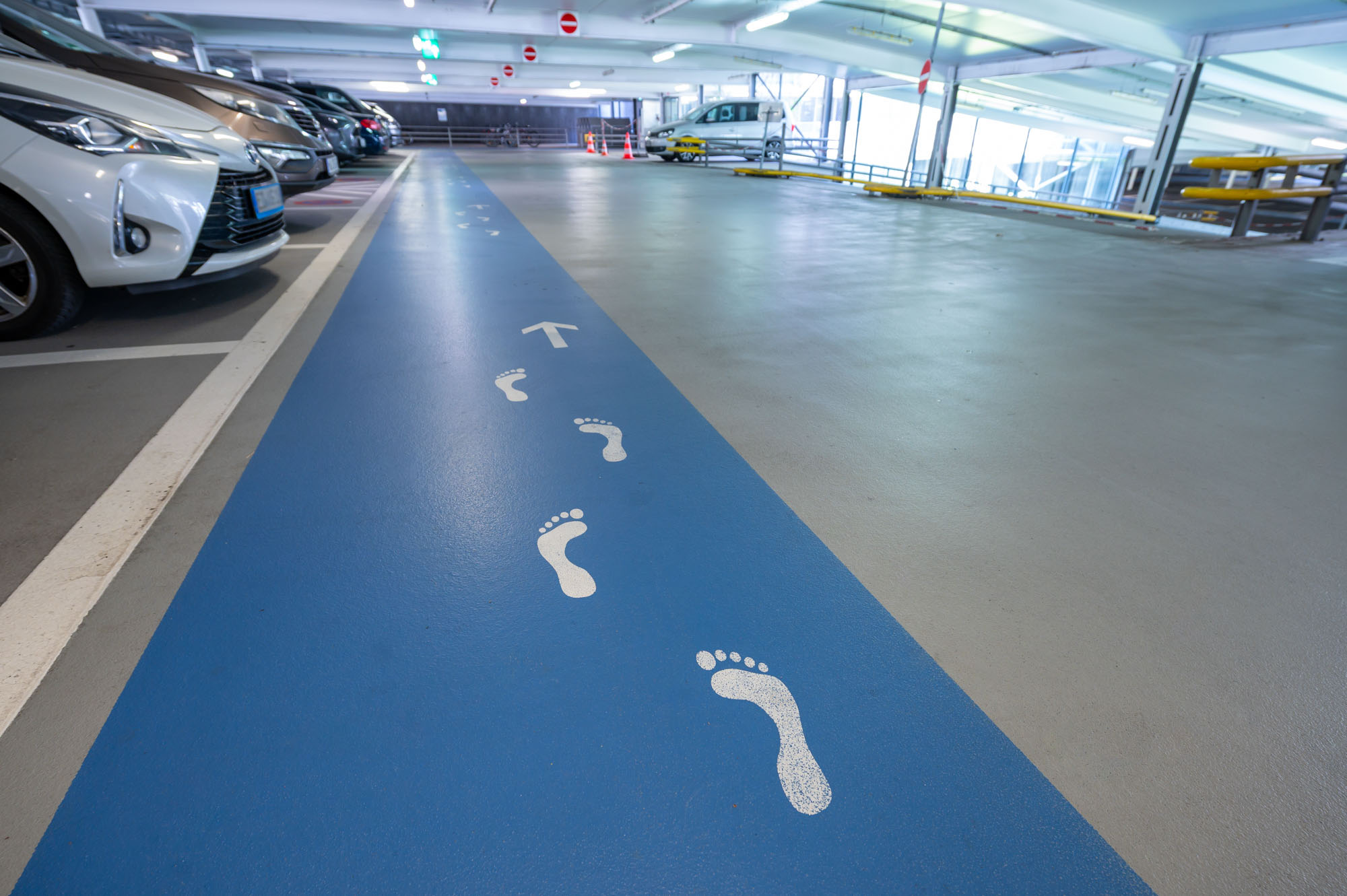
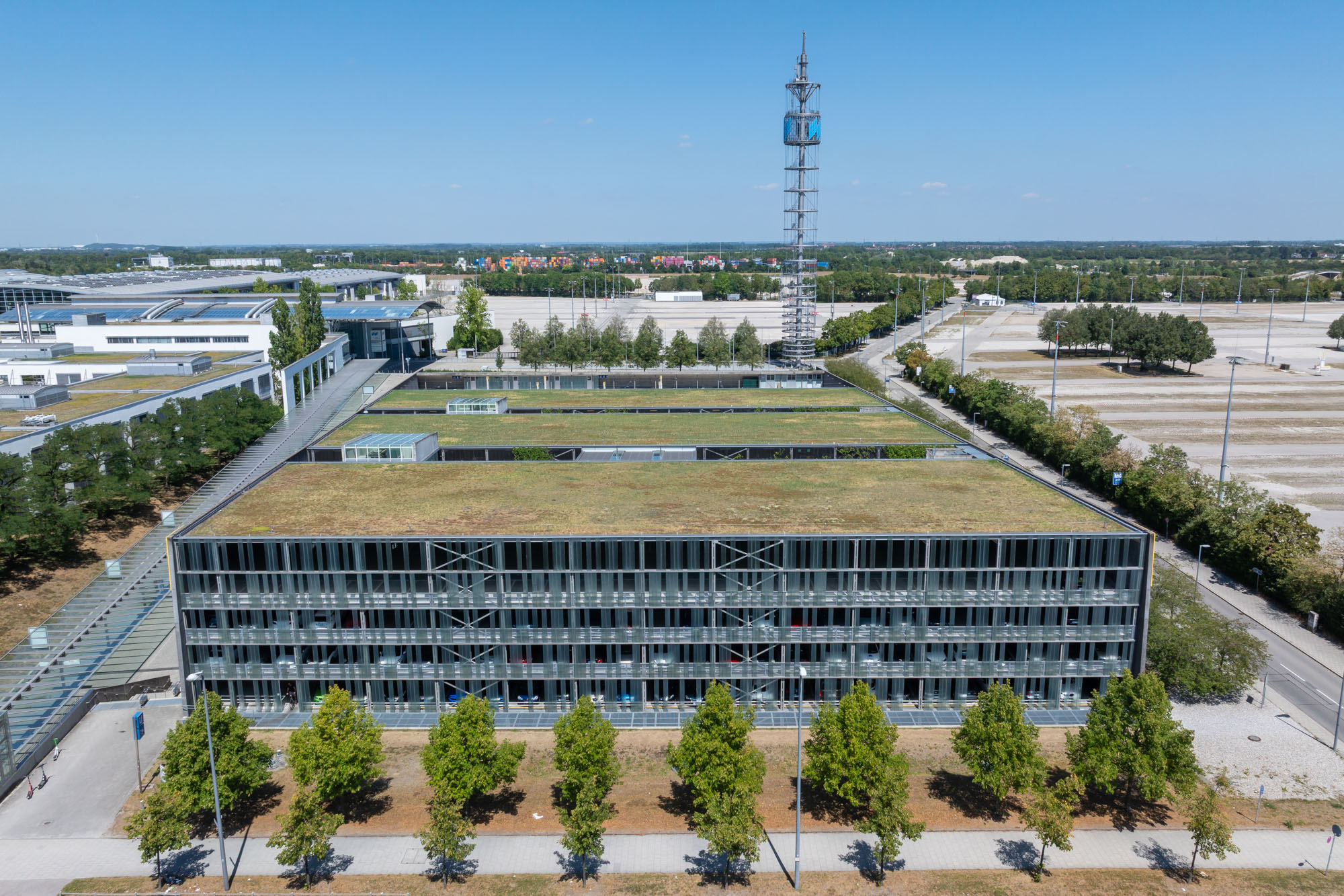
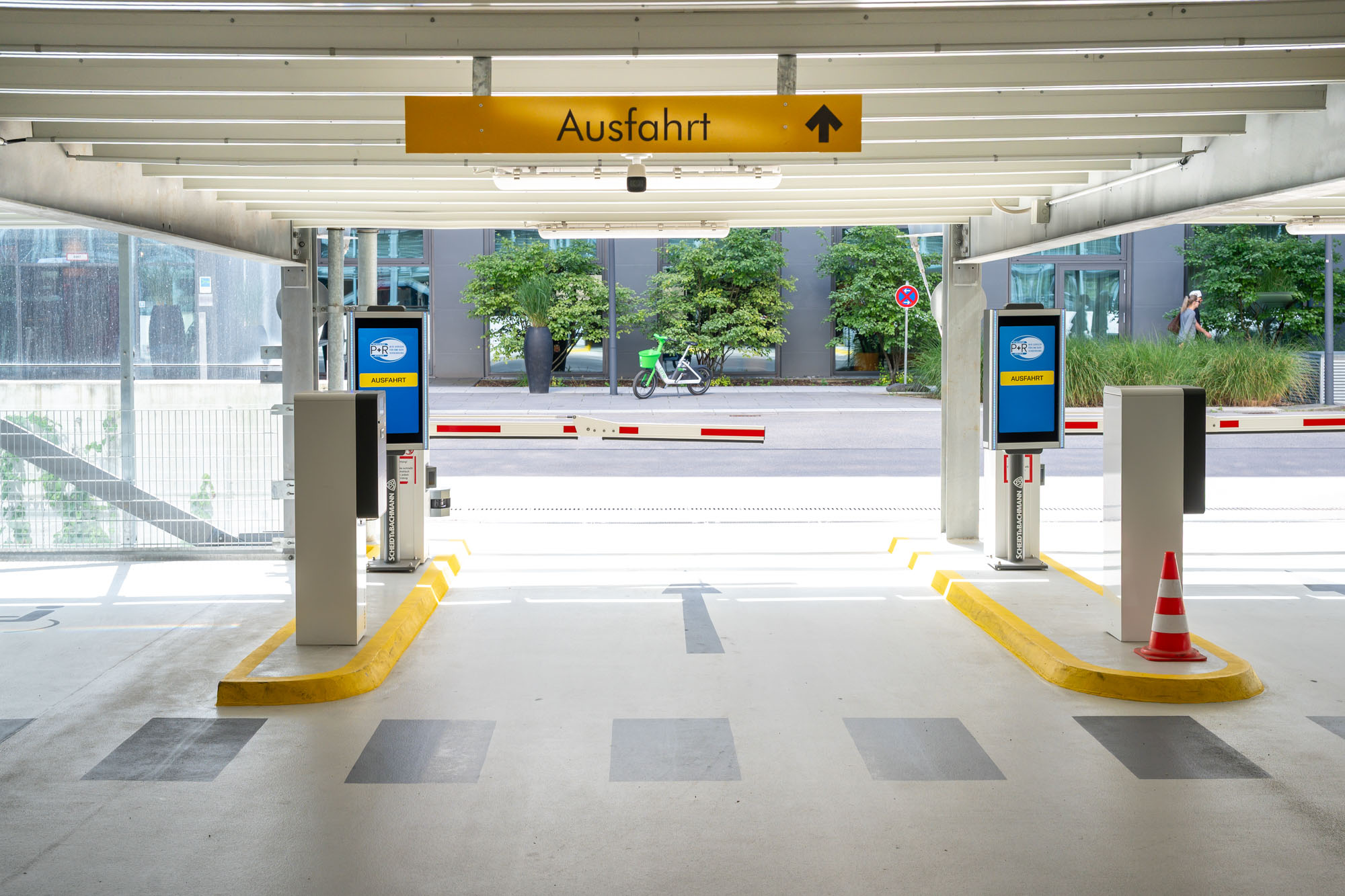
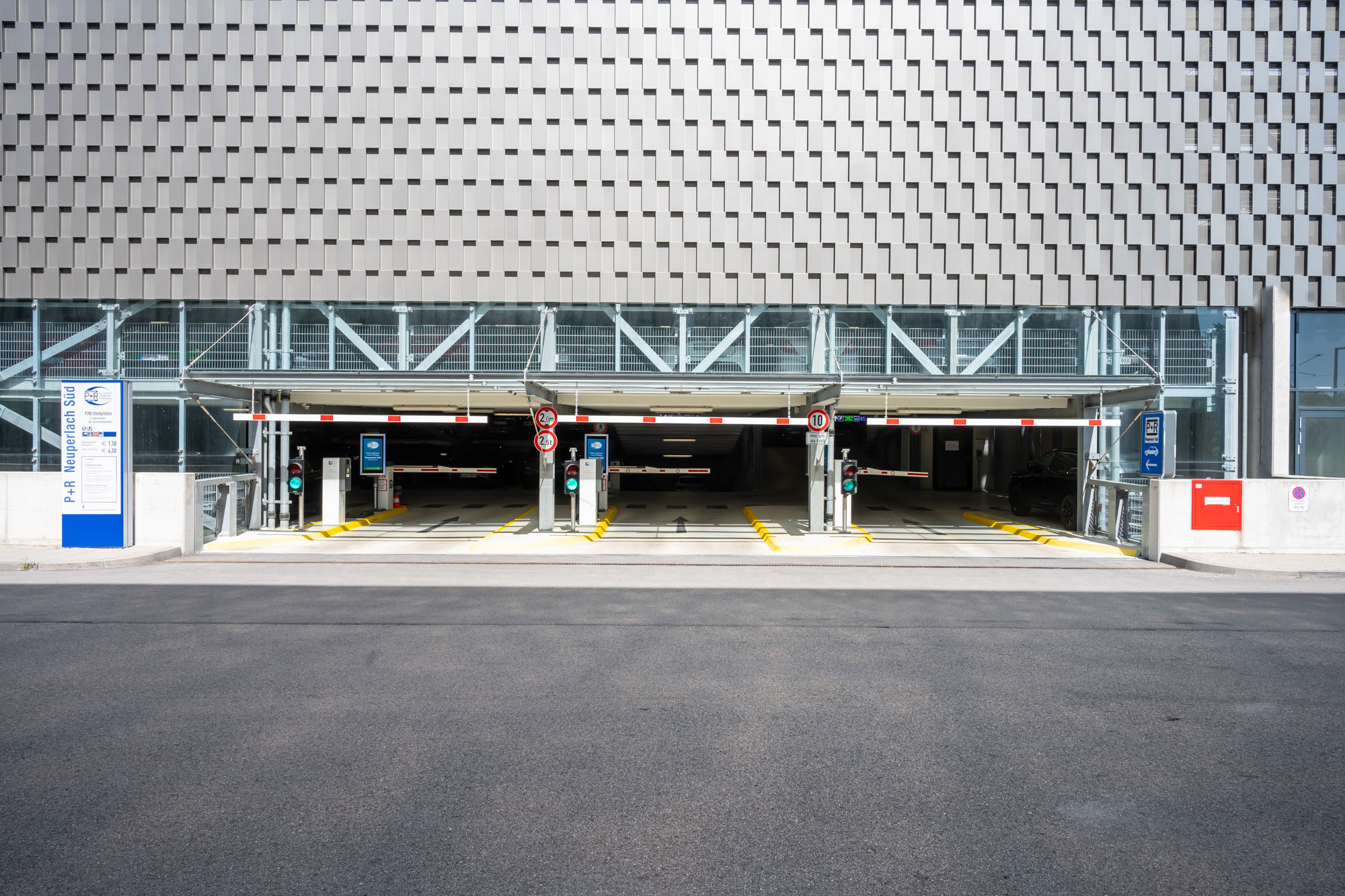
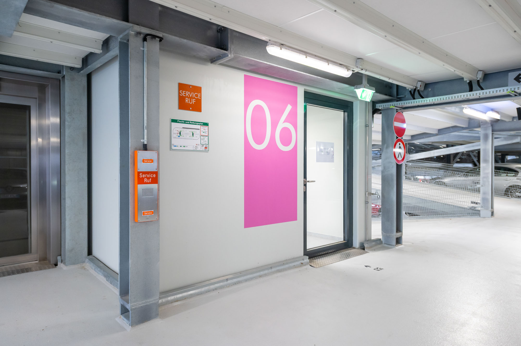
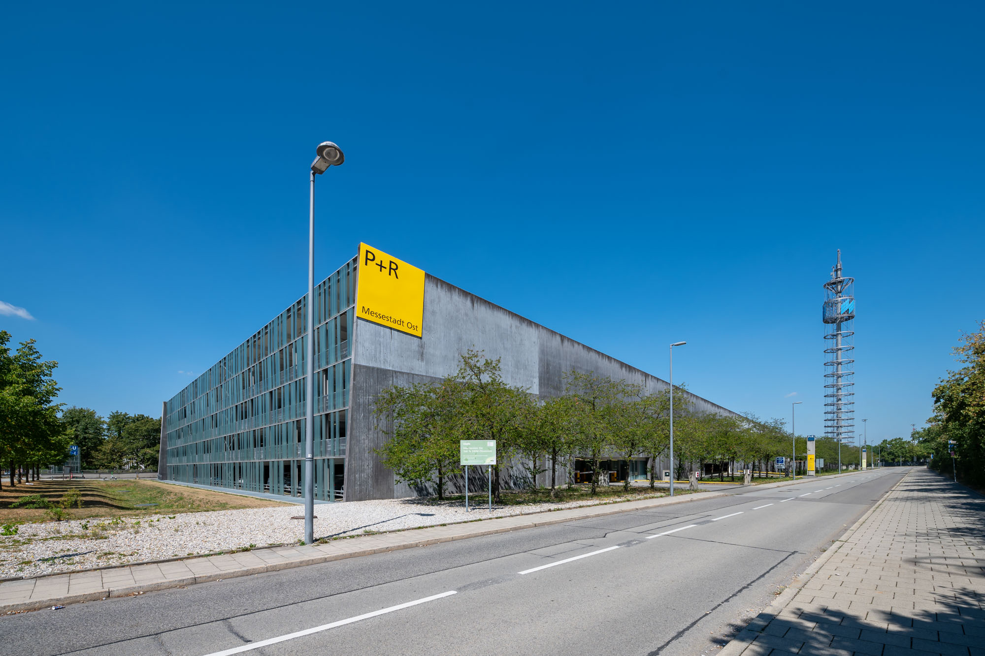
The facilities, as seen from the ground and from the air
The architectural photography illustrates the structural design and spatial organization of the individual sites. Low-angle perspectives provide insight into the facilities from the users’ perspective.
Supplementary drone imagery provides an overview of the areas and their surroundings. It shows how access roads, green spaces, and transportation links are spatially connected.
From both perspectives, a series of photographs was created to document the city’s infrastructure and its role in the transportation network.
Project at a Glance
- Client: City of Munich
- Project: Photographic Documentation of Several Park-and-Ride Facilities
- Location: Munich
- Services: Architectural and Drone Photography
- Key Areas: Facility Layout, Access Roads, Green Spaces, and Transportation Links
- Objective: To depict urban infrastructure and its spatial relationships
Photographically Documenting Infrastructure and Locations
Would you like to have traffic facilities, municipal facilities, or business locations photographed? Together, we’ll determine the necessary shots and, if needed, combine ground-level photography with aerial shots.
